
Climatology for Transmission Line Routing
Incorporating loadings from wind, snow, and ice in your design

Various meteorological conditions – some of them severe — occur during the lifetime of an electric transmission system. The worst are heavy winds, icing accumulation, and a combination of wind and ice. To prepare for these eventualities, engineers usually rely on published meteorological data from the nearest weather station, or they follow local guidelines which establish loading zones depending on terrain elevation. These approaches can result in over-design or under-design, both of which are unnecessarily expensive. We offer an alternative, that of incorporating a forecast of probable worst-case meteorology along the transmission line route. By considering line orientation, terrain, and climatic regimes, we predict the extreme meteorology along the planned route over the lifetime of the line. If necessary we suggest rerouting certain sections to avoid excessive wind areas or those with the potential for heavy icing on towers and conductors. Besides considering climate factors along the line, we account for terrain in a modeling domain that yields the maximum wind normal to the conductor.
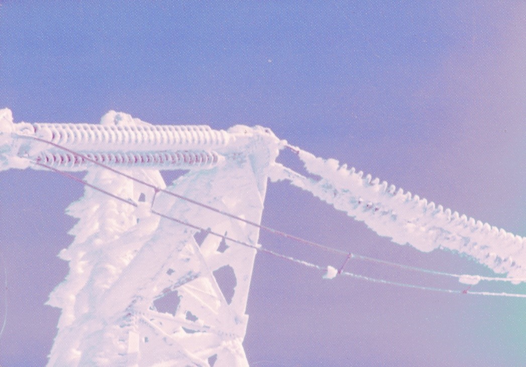
In the winter, and depending on location, it may be necessary to calculate loads due to any of four types of ice; winds also play a role in this ice accumulation, and the total load results from the weight of the ice plus the force of the wind. In the past 44 years, our experts have assisted in design activities for utilities in California, the Pacific Northwest, and Canada.


Much of the needed climate and topography are loaded in our databases and are ready for use. We first analyze these data along the proposed line to get an idea of wind, ice, and snow regimes; sometimes it is necessary to survey certain areas of concern along the route to refine our prediction.
In an operational mode, it is necessary at times to inspect the line’s length from a helicopter. This can happen particularly after heavy winds, snow and/or ice storms, as have occurred in the past.
Wind gusts, often the cause of damage to towers and lines, are estimated by the use of gust factors or by actual observation. Because the data from existing weather stations may not apply to segments of the line, it may be necessary to collect wind and other parameters at critical points along the proposed route. We can do this rather economically for short or long-term periods as described in the meteorology page.
The various datasets are input to numerical models which provide — among other outputs — the loadings from wind, snow, and ice. Joint probability estimates are given for combinations of wind and snow, or wind and ice. Return periods are calculated for each segment of line, and these give design-value predictions for the system.
Please contact us with specific questions on your current design or line replacement after a storm.